8 days
HOURLY FORECAST, EVERY SPOT
 PISCES

ADVANCED ANALYTICS FOR INSHORE FISHING
Pisces runs predictive models over environmental and biological data: laser-mapped seafloor, live tides, water temperature, species science. It turns all of it into an hourly inshore fishing forecast, where fish should be, on your water.

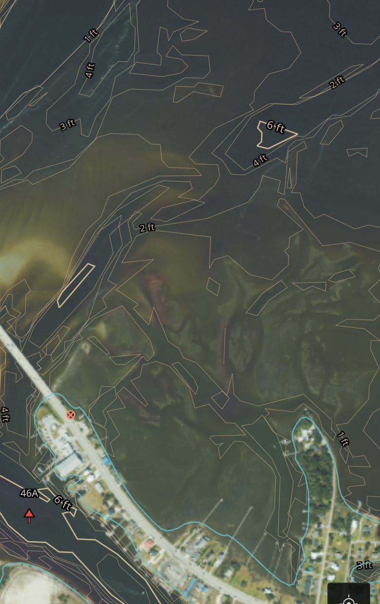
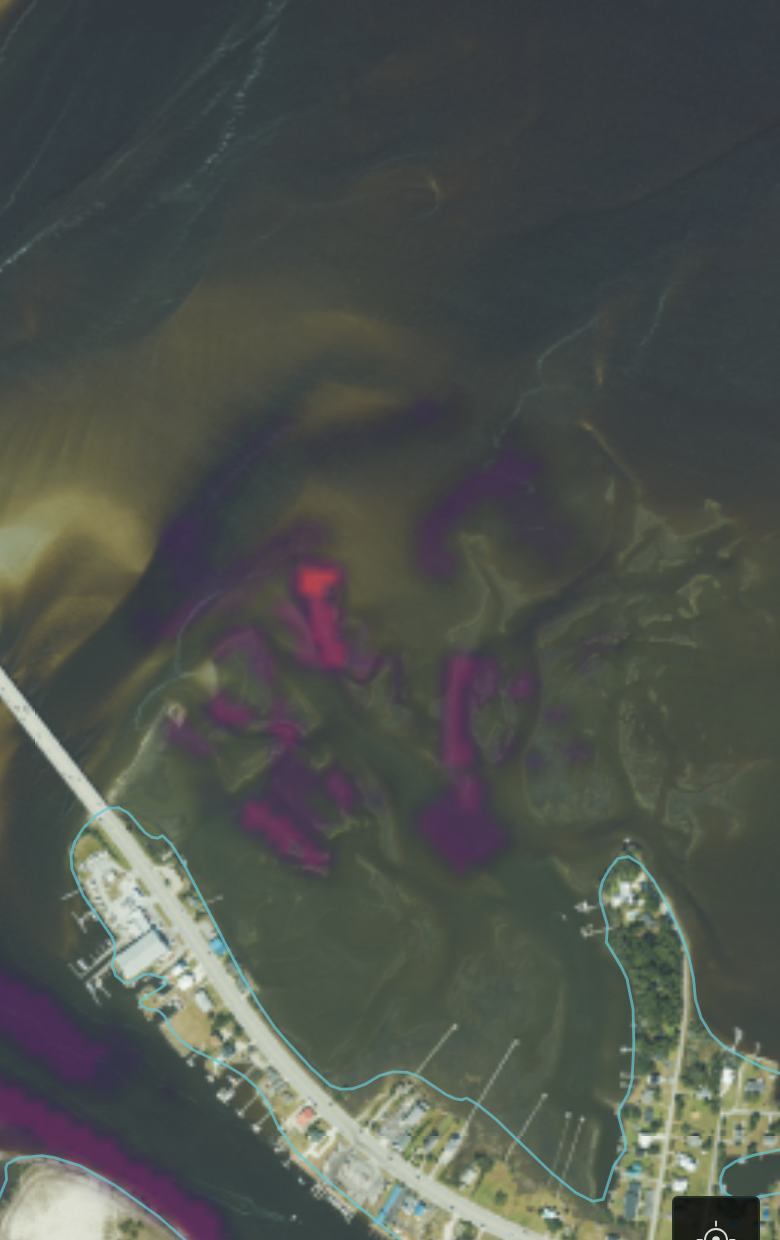
SAME WATER, DIFFERENT MAP
Every chart shows the same numbers to every boat. Pisces reads the structure underneath them: the drains, edges and bars fish actually use. It forecasts which ones are working right now.
EVERY CLAIM ON THIS PAGE IS MEASURABLE
SPECIES FORECASTING
Behavior models built from decades of NOAA and state fisheries research score every spot on your water, every hour, for the species you target.
WATER, MODELED IN MOTION
The tide isn't one number for your whole bay. Pisces computes it across the water, point by point, hour by hour. It matches real gauges to about an inch and a half.
ROUTES THAT KNOW YOUR BOAT
Courses plotted on laser-mapped seafloor, timed against the tide at your arrival, for your boat's actual draft. Skinny water stops being a guess.
MAKE YOUR TIME COUNT
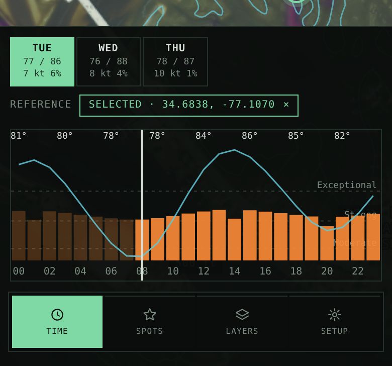
Every spot gets its own hourly forecast, eight days out. See when your water turns on, plan around it, and spend your hours where they pay.
STRAIGHT ANSWERS
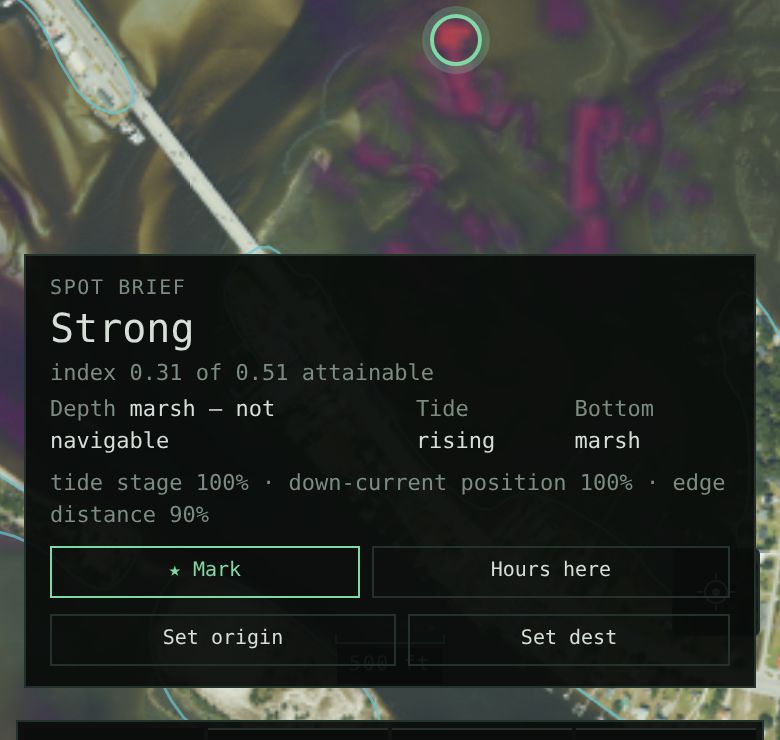
Tap any spot and get the reasons: depth, tide stage, bottom, structure. Every forecast traces back to real measurements, so you can take the call or fish your gut. Either way, you know more than you did.
OUR STANDARD
Empty water stays empty on our map. Weak reads look weak. Depths carry their real accuracy. We'd rather show you less than make something up.
HOW IT WORKS
01 — COLLECT
Government-grade public data: laser seafloor mapping, NOAA tides, aerial imagery, habitat surveys. Nothing crowd-sourced.
02 — EXTRACT
The model finds the water fish actually use: drains, edges, bars, points, including skinny water no sonar boat has ever mapped.
03 — PREDICT
Species behavior models score every spot, every hour. Where a fish can't live, the score is zero. Where it can, structure and tide add up.
04 — EXECUTE
Plot a course that respects your draft. Run it with live depth under the keel. Then fish.

EARLY ACCESS
Launching 2026 on US coastal waters. The early list gets each water body as it comes online, starting with the one in this picture.
LAUNCH UPDATES ONLY. UNSUBSCRIBE ANYTIME.

THE FIRST MATE ALREADY KNOWS
BOGUE SOUND