
COVERED WATER · CRYSTAL COAST, NC
Bogue Sound.
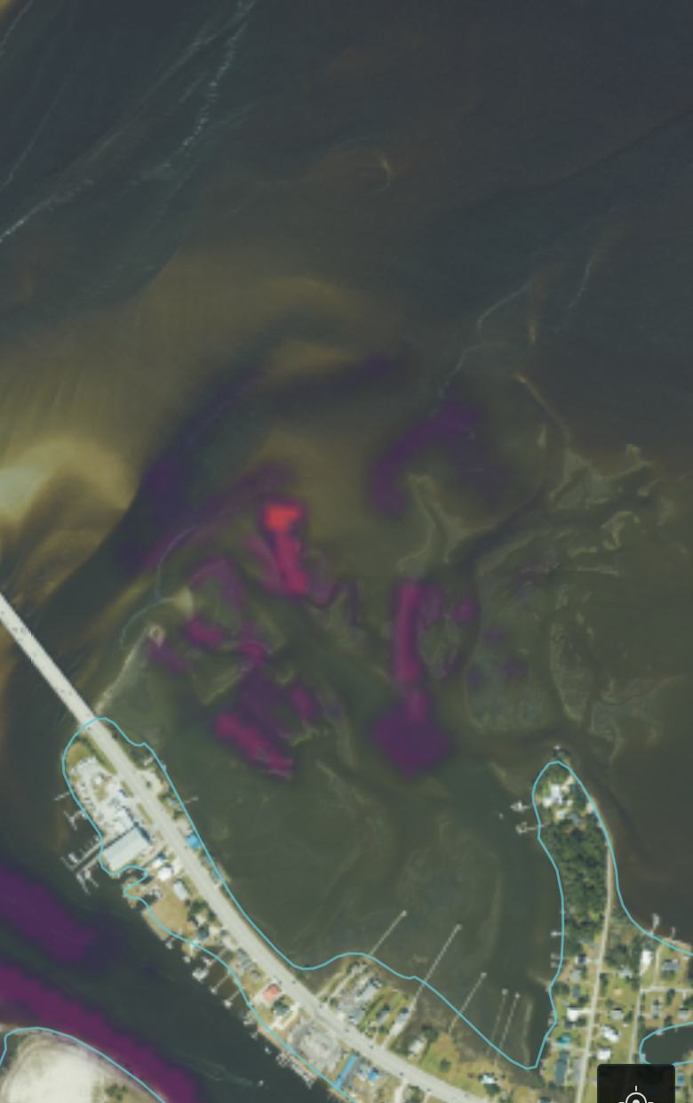
The water behind Bogue Banks, from Emerald Isle to Atlantic Beach, is the first water Pisces covers, and it gets the full treatment: laser-mapped seafloor, a tide model of its own, and an hourly forecast for three researched species.
The water
Bogue Sound runs about 25 miles between the barrier island and the mainland, from Bogue Inlet at Emerald Isle to Morehead City and Beaufort Inlet at the east end, with the Intracoastal Waterway threading through the middle. Most of it is skinny: grass flats, marsh, oyster, and sand shoals cut by channels and drains. That is exactly why it fishes so well and why depth is the whole game for running it.
What Pisces knows about it
- The seafloor at 1 meter: NOAA's lidar-derived elevation model, over 200 million depth measurements across the sound, including flats no sonar boat has ever surveyed.
- 19,436 mapped features: the drains, edges, bars and points fish actually use, extracted from that seafloor across Bogue Sound and the water east toward Morehead City, every one scored for every species, every hour.
- A tide model for this sound specifically: the tide here isn't one number. It lags and shrinks as it works in from the inlets, and Pisces computes it point by point, matching NOAA's own gauges to about an inch and a half.
- Eight days out, hourly: every spot gets its own forecast timeline, with the reasoning shown: depth, tide stage, bottom, structure, season.
The fish
Three species so far, each profiled from published North Carolina research, and each using this sound differently:
- Red drum: grass flats in summer, bulls at the inlets in fall, creek holes in winter, and a measured after-dark feeding pattern built into the hourly forecast.
- Southern flounder: ambush points on sand-mud edges, following the tide's depth up onto the flats rather than caring which way it flows.
- Black drum: shell bottom and pilings, the shellfish specialist on a different part of the map than either neighbor.
Where coverage goes next
Every water body gets the full build (seafloor, tide model, verification) before it ships, and coverage grows block by block along the coast from here. The how it works page carries the measured accuracy behind all of it. The early-access list hears first as each water comes online.

EARLY ACCESS
Fish Bogue Sound
with the forecast.
Launching 2026. The early list gets it first.
LAUNCH UPDATES ONLY. UNSUBSCRIBE ANYTIME.